181
Support from Corps Laboratories
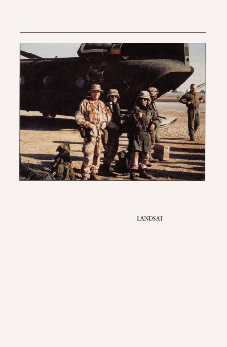
Dr. Jack Rinker and Michael G. Barwick traveled by helicopter to take photographs and collect
rock and soil samples.
the 416th Engineer Command, VII Corps, and the British 14th Topographic
Battalion. Rinker and Barwick integrated into their lectures hands-on
experience analyzing terrain features using
imagery. Many
participants reported they had learned more about remote sensing and terrain
analysis during those two weeks than they had during their previous five
months of deployment. For some students who had been conducting terrain
analysis from inside their offices, the field trip provided their first opportunity
to see the desert.
Rinker returned to the United States on 15 March, having taken numerous
rock and sand samples and acquired photographs of the border and other areas.
He did not have time to collect samples from as many areas as he wanted, so
Knowles, who had another month before redeployment, filled 17 boxes with
soil and geologic samples from the Rub al Khali desert and the Asir Mountains.
Information gleaned from these samples was incorporated in the data base.14
Water Detection
Laboratory support extended beyond terrain analysis to other areas such
as water detection. In the dry, hot Middle East, where potable water was scarce,
information about the location and quality of water was critical.


 Previous Page
