Topographic
and troop dispositions and the
EngineerColonel
production of Army maps. The U.S.
Roger Alexander led the
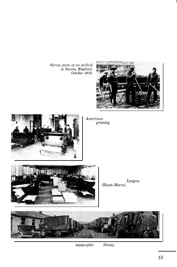
Army base printing plant at Langres
Topographical Division of the
produced 22 million maps in 1918.
Intelligence Section of the AEF
Colonel Alexander also oversaw
General Staff. He coordinated the
the use of sound and flash ranging
use of aerial photographs to obtain
to locate enemy artillery positions.
information on German trenches
print maps
in the
room.
The 29th Engineers produce
maps in the lithographic
press room of the base
printing plant,
France.
of the 29th Engineers' mobile
Trucks
unit,
France, April 1919


 Previous Page
